http://www.spaceage.co.in/cadastral-surveys.php
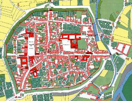
Cadastral Maps display the spatial descriptions of land-parcel boundaries that define the loaction, shape, and size of land parcels within the context of a regional or national geodetic positioning system. If they are maintained in a real-time manner, these maps can serve as a base for a reliable property rights system. Most parcel boundaries are defined by stable marks or visible features on the ground (artificial or natural).
No comments:
Post a Comment